Mission to Samarkand (Uzbekistan)
The Uzbek-Italian Archaeological Project – UIAP “Samarkand and Its Territory” began in 2001 as a collaboration between the University of Bologna – Department of History and Cultures (formerlyArchaeology) and the Institute of Archaeology of the Uzbek Academy of Sciences. The main financial sponsors are the University of Bologna, the International Mediterranean and Oriental Studies Association– ISMEO (formerlyIsIAO), and the Italian Ministry for Foreign Affairs and International Cooperation.
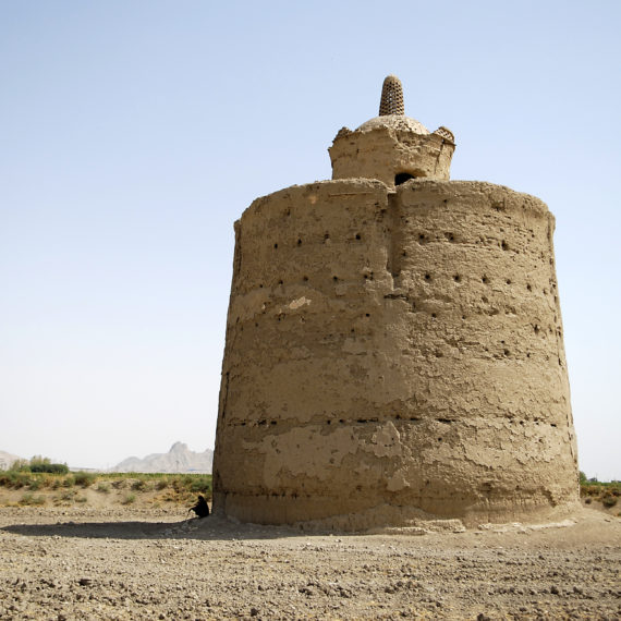
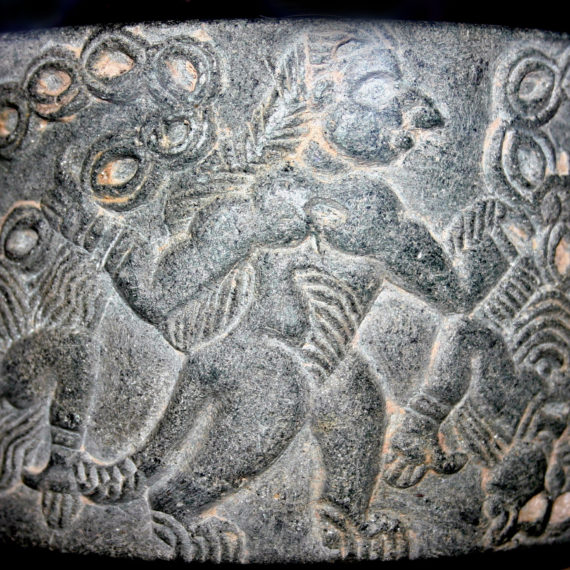
The project’s purposewas to make adiachronic study of the city of Samarkand, which was for a long time the capital ofancient Sogdiana and an important crossroadson the Silk Road, and its relationship tosettlement dynamics andlandscape transformations from the Bronze Age to the Middle Ages. Research concerned both regional and local scalesand focused on specific topics such as human-environment interactions, the relationship between sedentary farmers and semi-mobile pastoralists, and the development of irrigation systems. Activitiesincluded: geoarchaeological surveys; investigation of keysites (Kafir Kala, Boyssartepa and minorsites); study of the material culture and faunal remains; preparation ofGIS models, remote sensing and cartography.
Director: Simone Mantellini
Nation: Uzbekistan
Period: 2001 – in course
. • The region of Samarkand and the archaeological sites surveyed by UIAP 2001-2016 (on the background a LANDSAT satellite image, 1992).")
The region of Samarkand and the archaeological sites surveyed by UIAP in 2001-2016 (in the background a LANDSAT satellite image, 1992).
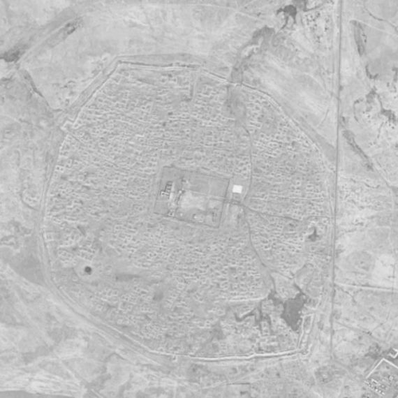
 e tracce di canali abbandonati (sullo sfondo un’immagine satellitare CORONA, 1968). • Landscape archaeology at the site of Koitepa with ancient settlements (tepa, i.e. anthropic mound) and traces of abandoned canals (on the background a CORONA satellite image, 1968).")
Landscape archaeology in the Koitepa area, with ancient settlements (tepa, i.e. anthropic mounds) and traces of abandoned canals (in the background a CORONA satellite image, 1968).

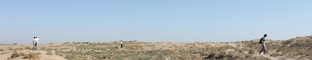
Archaeological survey of a tepa.

Geoarchaeological survey of a canal.
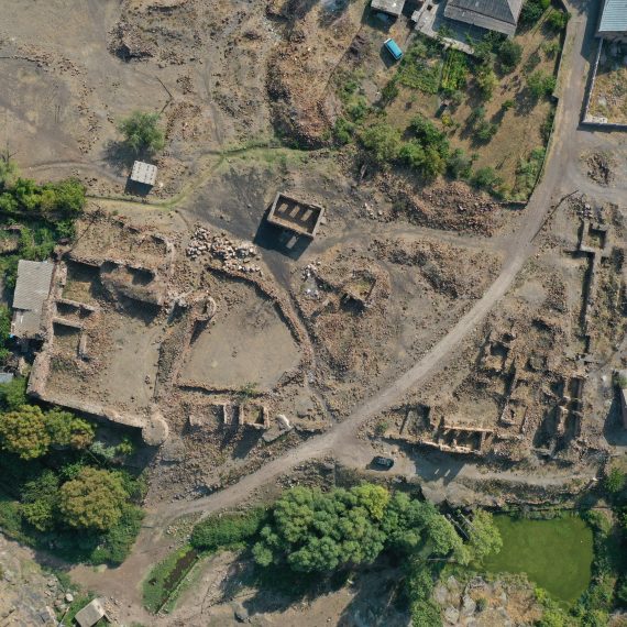
(elaborazione G. Luglio, 2018). • Digital Terrain Model of the site of Kafir Kala (7th-14thcenturies CE)(elaboration G. Luglio, 2018).")
Digital Terrain Model of the site of Kafir Kala (7th-14thcenturies CE) (G. Luglio, 2018).